In an unprecedented collaboration, the national space agencies of the United States (NASA) and India (ISRO) are on the cusp of launching a revolutionary satellite mission that promises to provide a unique and invaluable view of our ever-changing planet. The NASA-ISRO Synthetic Aperture Radar (NISAR) mission is a groundbreaking endeavor designed to monitor Earth's intricate processes with unparalleled detail and frequency. This sophisticated satellite will act as a sentinel in the sky, meticulously tracking changes across nearly all of Earth's land and ice surfaces.
A Powerful Partnership
The NISAR mission stands as a testament to the power of international collaboration in tackling global challenges. Under the terms of this joint project, both space agencies bring their unique expertise to the table. NASA is responsible for providing the L-band Synthetic Aperture Radar (SAR), a high-rate telecommunication subsystem for scientific data, GPS receivers, a solid-state recorder, and a payload data subsystem. In turn, ISRO is contributing the satellite bus, an S-band SAR, the launch vehicle, and all associated launch services. This flagship partnership, with an estimated total cost of US$1.5 billion, is poised to be the world's most expensive Earth-imaging satellite.
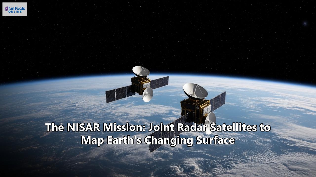
The satellite itself is a marvel of engineering. The integrated radar instrument structure (IRIS), which hosts both the L-band and S-band SAR payloads, is mounted on the spacecraft bus, together forming the observatory. A key feature of the observatory is a massive 12-meter (39-foot) deployable mesh reflector antenna, which will be used by both radar systems to send and receive signals. This large antenna, supplied by Astro Aerospace, is mounted on a 9-meter boom.
Unprecedented Imaging Technology
At the heart of the NISAR mission is its advanced radar technology. For the first time, a satellite mission will use two different radar frequencies—the L-band and the S-band—to measure changes on our planet's surface with astonishing precision, capable of detecting movements as small as a centimeter. This dual-frequency capability allows the mission to observe a wide range of Earth processes, from the flow rates of glaciers and ice sheets to the dynamics of earthquakes and volcanoes.
The use of Synthetic Aperture Radar (SAR) is what enables NISAR to produce exceptionally high-resolution images. A significant advantage of radar technology is its ability to penetrate clouds and darkness, allowing NISAR to collect data day and night, in any weather conditions. This ensures a consistent and uninterrupted stream of information.
NISAR will operate in a sun-synchronous orbit at an altitude of 747 kilometers, meaning it will pass over any given spot on Earth at the same local time. The instrument's imaging swath—the width of the strip of data collected during each pass—is greater than 240 kilometers (150 miles). This wide swath enables the satellite to map the entire globe every 12 days, and by sampling on both ascending and descending passes, it will observe every part of the Earth on average every six days.
A Wealth of Scientific Discovery
The data collected by NISAR will be a treasure trove for scientists and researchers across numerous disciplines. The mission's primary science objectives are to study some of the planet's most complex natural processes, including ecosystem disturbances, the collapse of ice sheets, and natural hazards such as earthquakes, tsunamis, volcanoes, and landslides.
Key areas of investigation for the NISAR mission include:- Solid Earth and Natural Hazards: By detecting tiny movements in the Earth's crust, NISAR will provide invaluable data for understanding and responding to earthquakes, volcanic eruptions, and landslides. The mission can measure surface deformations with a precision of a few millimeters, helping to assess seismic and volcanic hazards.
- Cryosphere and Climate Change: The satellite will monitor the dynamics of ice sheets, glaciers, and sea ice, providing crucial information about the impacts of climate change and their contribution to sea-level rise. It will observe sea ice characteristics around India's Antarctic polar stations, which can also aid in detecting marine oil spills.
- Ecosystems and Carbon Cycle: NISAR will track changes in vegetation, including forests and agricultural lands. The dual L- and S-band frequencies will allow scientists to characterize targets beneath tree canopies and study sub-surface features. This data will help in understanding the global carbon cycle, managing agricultural resources, and monitoring deforestation.
- Water Resources: The mission will provide information about groundwater levels, which is vital for managing freshwater availability. It will also monitor changes in the extent of water bodies and track the health of glaciers that serve as crucial water sources.
- Coastal Processes: NISAR will acquire data over coastal regions, including monitoring annual changes in the bathymetry (the depth of the water) along deltaic regions and tracking shoreline erosion and accretion.
Launch and Data Availability
The fully integrated NISAR satellite has undergone extensive testing in preparation for its journey to space. After completing its final checks in Bengaluru, India, the satellite was shipped to the Satish Dhawan Space Centre (SDSC) SHAR in Sriharikota, on the southeast coast of the Indian peninsula. The launch is currently planned for 2025, aboard an Indian GSLV expendable launch vehicle.
Following its launch, the mission will have a baseline duration of three years. One of the most significant aspects of the NISAR mission is its open data policy. In line with NASA's long-standing practice, all science data from both the L-band and S-band radars will be freely available to the public. This data is expected to be accessible within one to two days after observation, and in cases of emergencies like natural disasters, the data will be available within hours. This rapid and open access will empower scientists, resource managers, and disaster response agencies around the world to better understand and cope with global change.
Reference:
- https://scitechdaily.com/nisar-satellite-set-to-revolutionize-earth-monitoring-in-2025/
- https://science.nasa.gov/blogs/nisar/
- https://en.wikipedia.org/wiki/NISAR_(satellite))
- https://www.isro.gov.in/NISARSatellite.html
- https://www.eoportal.org/satellite-missions/nisar
- https://nisar.jpl.nasa.gov/mission/mission-concept/
- https://nisar.jpl.nasa.gov/mission/quick-facts/
- https://www.eorc.jaxa.jp/ALOS/en/kyoto/jan2017_kc23/pdf/3-07_KC23_NISAR_Kellndorfer.pdf