A recent breakthrough in environmental monitoring has been achieved using the German Environmental Mapping and Analysis Program (EnMAP) satellite. Researchers have successfully demonstrated the satellite's capability to simultaneously detect and map two key air pollutants, carbon dioxide (CO₂) and nitrogen dioxide (NO₂), emanating from individual power plants. This marks a significant advancement, as these measurements were achieved with an unprecedented spatial resolution of just 30 meters.
This new method allows for highly precise tracking of industrial emissions from space and enables detailed analysis of atmospheric processes. Traditionally, monitoring such emissions from space has been challenging due to limitations in spatial and spectral resolution of satellite sensors. EnMAP, though originally designed for land surface remote sensing, has proven its ability to discern the characteristic absorption patterns of CO₂ and NO₂ in sunlight reflected from Earth's surface. This is a transformative finding, as it was previously thought that only instruments with extremely high spectral resolution could perform such delicate atmospheric trace gas monitoring.
The exceptional 30x30 meter spatial resolution of EnMAP compensates for its moderate spectral resolution, enabling detailed mapping of emission plumes over tens of kilometers. This provides a nuanced view of the spatial structure and evolution of industrial emissions with remarkable clarity. The simultaneous measurement of both CO₂ and NO₂ is crucial. While NO₂ is a highly reactive and localized pollutant, CO₂ is more chemically stable and has high background levels, often obscuring localized sources. By capturing both gases at the same time, researchers can determine emission ratios (e.g., NOₓ/CO₂) and track chemical conversions within the plumes. This offers direct insights into the combustion efficiency, technological features, and operating conditions of the monitored power plants.
This capability has been successfully demonstrated over emission hotspots like Saudi Arabia and South Africa's Highveld region, areas known for significant industrial activity. Pinpointing emission plumes from individual facilities in these regions showcases EnMAP's ability to provide reliable, detailed data that was previously only accessible through expensive and logistically complex aircraft campaigns.
The implications of this development are far-reaching. Integrating EnMAP data into global atmospheric monitoring frameworks could revolutionize how industries, governments, and researchers understand and mitigate pollutant emissions. More precise temporal and spatial data can lead to better-tailored policies, more rigorous verification of compliance, and improved scientific models. This success challenges previous assumptions about satellite sensor requirements for atmospheric monitoring and highlights how optimizing spatial resolution can lead to breakthrough capabilities in environmental sensing.
Furthermore, EnMAP's achievements suggest a synergistic role alongside upcoming missions like Europe's CO2M satellite. Together, these platforms can create a nested monitoring system, combining wide-area coverage with pinpoint accuracy for comprehensive and near-real-time characterization of emission sources. This advanced capability to observe complex chemical landscapes from orbit redefines our capacity to understand and protect the Earth's atmosphere.
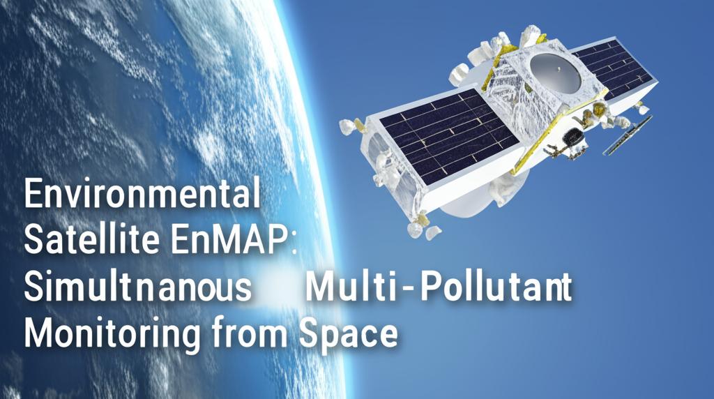
The EnMAP satellite, launched in April 2022, is a German hyperspectral mission managed by the German Aerospace Center (DLR) with scientific leadership from the German Research Centre for Geosciences (GFZ). It orbits at an altitude of approximately 650 kilometers, equipped with a hyperspectral instrument covering a wide spectral range from visible light to short-wave infrared in over 200 spectral bands. While its primary goal is to study Earth's land and aquatic ecosystems, its application for monitoring multiple pollutants simultaneously demonstrates a significant expansion of its capabilities, contributing critical data for climate change research and environmental protection. The mission is designed to provide high-quality hyperspectral data regularly, making the invisible visible and offering quantitative information about the Earth's surface and atmosphere.