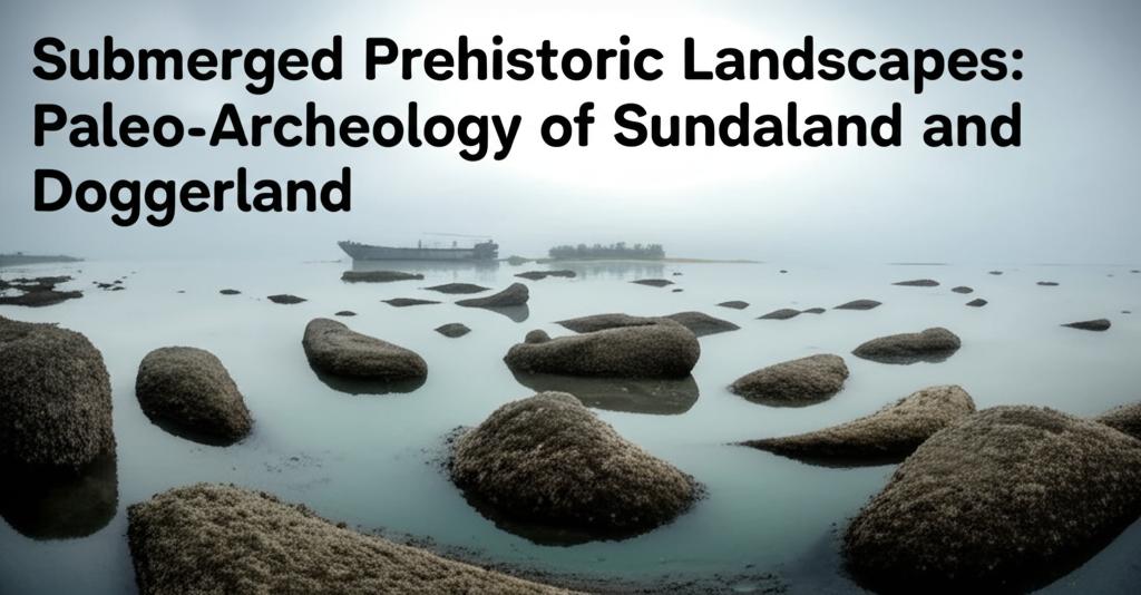
The relentless rise of global sea levels following the Last Glacial Maximum, approximately 20,000 years ago, inundated vast terrestrial landscapes that were once home to prehistoric populations. Among the most significant of these now-submerged realms are Sundaland in Southeast Asia and Doggerland in the North Sea. Paleo-archaeological investigations in these regions are increasingly revealing crucial insights into human adaptation, migration, and the profound impacts of environmental change.
Doggerland: A Mesolithic Heartland Beneath the North SeaDoggerland, the now-submerged landmass that once connected Great Britain to mainland Europe, was a rich and dynamic environment for Mesolithic hunter-gatherers. As the ice sheets retreated, this area became a vast plain with rivers, lakes, wetlands, and coastlines, offering abundant resources. Archaeological evidence, though challenging to obtain, points to significant human activity.
Recent research efforts, often employing advanced remote sensing techniques like seismic reflection surveys and sophisticated computer modeling, are "rediscovering" Doggerland by creating detailed topographic maps of the ancient landscape. These methods have revealed ancient river systems, channel systems, and even potential settlement sites. Discoveries of stone tools, animal remains (including mammoths and lions), and occasionally human remains and tools like barbed antler points, often brought to the surface by fishing trawlers or through aggregate dredging, confirm the presence of human populations. Some of these finds date back to the Middle Palaeolithic period.
Ongoing projects like "Europe's Lost Frontiers" are significantly advancing our understanding by integrating various data sources, including sedimentary ancient DNA (sedaDNA), to reconstruct past environments and identify human presence. This approach allows for the study of ecological changes and the transition from hunter-gatherer societies to farming communities in Northwest Europe. The impact of catastrophic events, such as the Storegga Slide tsunami around 8,200 years ago, on the Mesolithic inhabitants of Doggerland is also an active area of investigation. Despite the challenges of underwater archaeology, including the disturbance of sites by natural processes and human activities like sand extraction, Doggerland is recognized as holding a potentially unique and largely undisturbed record of Mesolithic life in Northwestern Europe.
Sundaland: A Submerged Crossroads in Southeast AsiaSundaland refers to the vast continental landmass that, during periods of lower sea levels, connected the islands of Borneo, Java, and Sumatra to mainland Southeast Asia. This region, now largely submerged beneath the South China Sea, Java Sea, and other bodies of water, played a critical role in early human dispersal and evolution in Asia.
Research in Sundaland is uncovering evidence of ancient river systems, known as paleo-rivers, and drowned coastlines that would have been attractive areas for human settlement. The unique tectonic setting of Sundaland, at the junction of several Earth plates, has shaped its geological history and the landscapes available to prehistoric populations. During the Last Glacial Maximum, sea levels were significantly lower, exposing vast areas of Sundaland. As the ice melted, rising seas gradually submerged this land.
While the archaeological record from submerged portions of Sundaland is still developing, the region's terrestrial sites provide tantalizing clues. Evidence of Homo erectus presence, including tool use and even possible symbolic behavior like shell engravings dating back 500,000 years, has been found in areas that were part of this larger landmass. The potential for discovering submerged prehistoric sites is immense, offering insights into how early humans adapted to changing tropical environments and migrated through Southeast Asia and towards Australia. Studies combining geomorphological observations, seismic stratigraphy, and numerical simulations are helping to reconstruct the paleogeography of Sundaland, revealing that parts of the shelf have been subsiding and were intermittently exposed and drowned over hundreds of thousands of years.
Challenges and Future DirectionsThe paleo-archaeology of submerged landscapes like Sundaland and Doggerland faces considerable challenges. Locating and excavating underwater sites is complex and expensive, often requiring sophisticated technologies like autonomous underwater vehicles (AUVs), remotely operated vehicles (ROVs), sonar mapping, and photogrammetry. Natural processes such as erosion, sedimentation, and changing sea conditions, as well as human impacts like dredging and offshore development, continually threaten these fragile underwater heritage sites.
Despite these hurdles, the field is rapidly advancing. International collaboration, the development of new investigative techniques (such as sedaDNA analysis), and improved mapping technologies are providing increasingly detailed pictures of these lost worlds. The study of these submerged prehistoric landscapes is crucial not only for understanding past human societies but also for providing a long-term perspective on human responses to significant environmental and climate change—a perspective that is increasingly relevant today. The ongoing exploration of Sundaland and Doggerland promises to continue yielding invaluable knowledge about our shared human past.