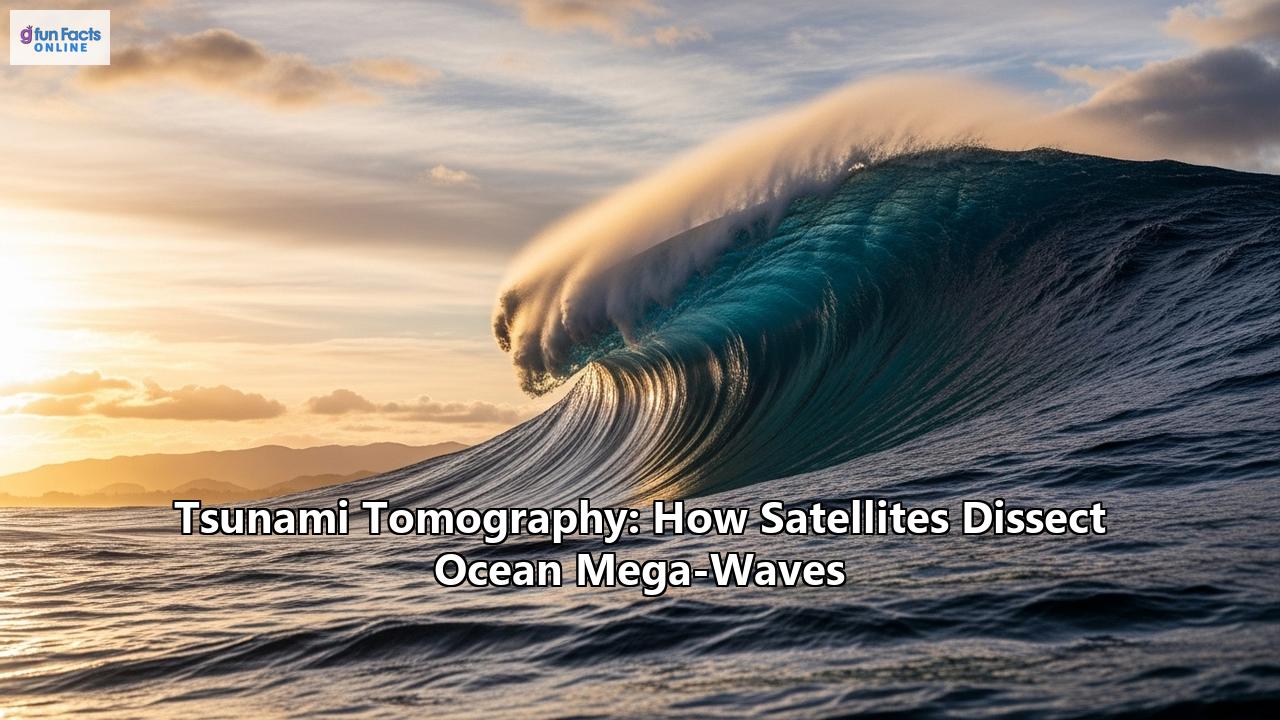
The Unseen Threat: Charting Ocean-Swallowing Waves from Orbit
Deep beneath the placid surface of the ocean, the Earth's crust groans and then violently fractures. In an instant, a colossal volume of water is thrust upwards, birthing a silent, almost invisible pulse of energy that begins to race across the vast expanse of the sea. In the open ocean, this mega-wave, a tsunami, might be no taller than a few feet, a subtle and swift distortion of the sea surface, traveling at the speed of a jetliner. Yet, as it approaches land, this unassuming swell transforms into a monstrous wall of water, capable of erasing coastlines and claiming thousands of lives. For centuries, humanity was at the mercy of this silent, speeding threat, with warnings often coming too late, if at all. But today, in the quiet vacuum of space, a new generation of sentinels is watching, capable of dissecting these waves from their very birth. This is the world of tsunami tomography, a revolutionary science that uses satellites to create a CT scan of a tsunami, mapping its source, predicting its path, and offering humanity a fighting chance against one of nature's most formidable forces.
The challenge of tsunami detection has always been one of time and distance. The 2004 Indian Ocean tsunami, a catastrophe that claimed over 227,000 lives, was a brutal testament to the limitations of existing warning systems. While seismic sensors can detect the earthquake that might trigger a tsunami, they cannot confirm if a wave has actually been generated, nor can they accurately gauge its size and potential threat. This uncertainty can lead to devastating false alarms or, far worse, a failure to warn. The global network of Deep-ocean Assessment and Reporting of Tsunamis (DART) buoys was a major step forward, placing pressure recorders on the seafloor to detect the passage of a tsunami wave. These buoys are a cornerstone of modern warning systems, providing direct, real-time confirmation of a tsunami. However, they are a finite number of points in an immense ocean, and their maintenance is costly and challenging. A more comprehensive, global view was needed.
A Fortuitous Glance: The Birth of Satellite Tsunami-Sensing
The concept of using satellites to spot tsunamis was, for a long time, purely theoretical. The chances of a satellite with the right sensors passing over the right patch of ocean in the brief window after an earthquake were incredibly slim. Until December 26, 2004. In what can only be described as a stroke of scientific serendipity, two separate satellite missions, the joint NASA/French Space Agency Jason-1 and TOPEX/Poseidon, flew over the Indian Ocean just two hours after the gargantuan Sumatra-Andaman earthquake. Their radar altimeters, designed to meticulously map the ocean's surface for climate studies, painted the first-ever detailed portrait of a mega-tsunami traversing the open ocean.
The data was stunning. The satellites measured a distinct sea surface anomaly: a leading wave with a crest of up to 50 centimeters (1.6 feet) followed by a trough 40 centimeters (1.3 feet) deep. While seemingly small, this was the unmistakable signature of the catastrophic wave, and the agreement between the two independent satellites lent absolute confidence to the measurements. For the first time, scientists had a basin-wide snapshot of a tsunami's propagation. This fortuitous event was a watershed moment, proving that satellite altimetry could not only detect a tsunami but provide invaluable data to understand its power.
This wasn't the very first instance of a satellite spotting a tsunami. In 1992, the TOPEX satellite detected a faint signal, merely 8 centimeters high, from a tsunami generated by an earthquake in Nicaragua. However, the 2004 event was on an entirely different scale, providing unambiguous, large-scale data that galvanized the scientific community and laid the groundwork for tsunami tomography.
The Art of the Slice: How Tsunami Tomography Works
The term "tomography" comes from the Greek words "tomos" (slice) and "graphein" (to write). It's the principle behind medical CT scans, which use multiple X-ray images from different angles to build a 3D model of a patient's internal organs. Tsunami tomography applies a similar logic to the ocean. It's a method of "inverting" sea level data to reconstruct the source of the tsunami—the initial, massive displacement of the seafloor that acted as the wave's genesis.
It is not just a single snapshot but a dynamic, multi-layered process:
- Detection from Above: The process begins with satellites. Traditional radar altimeters, like those on the Jason series, send a radar pulse down to the ocean surface and measure the time it takes to reflect back. This provides an incredibly precise measurement of the sea surface height along the satellite's narrow ground track. A tsunami passing below will appear as a distinct rise or fall in this height.
- Gathering Multiple "Slices": A single satellite pass provides one line of data—a single "slice." To build a complete picture, scientists combine data from multiple sources. This can include several satellite passes that cross the tsunami at different times and locations, as well as data from seafloor pressure recorders (like DART buoys) and coastal tide gauges.
- The Inversion—Recreating the Source: This is the heart of tomography. Using complex numerical models, scientists take these scattered sea-level measurements and work backward. They use the data to infer the size, shape, and orientation of the initial seafloor uplift. For instance, the 2004 Indian Ocean data from Jason-1 and TOPEX/Poseidon, when combined with tide gauge records, allowed researchers to perform a "joint inversion." This process revealed that the earthquake's rupture was a staggering 900 to 1,400 kilometers long, with the largest slip of about 13 to 25 meters occurring off the coast of Sumatra. This detailed picture of the tsunami's "birth" would have been impossible to create without the satellite data.
- Forecasting the Future: Once the source is accurately modeled, the future becomes clearer. With a precise understanding of the initial energy and direction of the tsunami, forecast models can predict its path, arrival time, and potential wave height at distant coastlines with far greater accuracy. This is the ultimate goal: turning satellite observations into actionable warnings that save lives.
The 2011 Tōhoku earthquake and tsunami in Japan further highlighted the power of this approach. While Japan's dense ground-based sensor network provided immediate alerts, satellite data played a crucial role in the aftermath. High-resolution satellite imagery allowed for rapid and safe assessment of the massive inundation zones, with runup heights estimated from space closely matching field survey data. For example, satellite data estimated a maximum runup of 39 meters at Rikuzentakata, a figure validated by ground crews who reported 39.7 meters. This event underscored how satellites provide a vital, wide-area perspective that complements ground-based systems.
A New Generation of Wave Hunters: Evolving Technology
While traditional radar altimetry proved the concept, it has significant limitations for a real-time warning system. The satellites provide a very narrow view, and the data can take hours to process and deliver—too slow for an initial alert. This has driven the development of new, more agile technologies designed specifically for the task.
GNSS-Reflectometry (GNSS-R): A Revolution in CoverageThe next great leap in tsunami detection is Global Navigation Satellite System-Reflectometry (GNSS-R). Instead of carrying its own powerful radar, a GNSS-R satellite uses the signals already blanketing the Earth from navigation constellations like GPS, Galileo, and GLONASS. It acts as a passive receiver, measuring the signals that reflect off the ocean surface.
The key advantage is coverage. A traditional altimeter "sees" only a single point directly beneath it. A GNSS-R receiver can see reflections from multiple navigation satellites simultaneously, creating a wide, glistening footprint of observation points on the ocean. This dramatically increases the probability of detecting a tsunami. Studies have shown that a constellation of just 18 low-Earth orbit (LEO) satellites equipped with GNSS-R could detect a very strong tsunami within 15 minutes. A larger constellation of 48 satellites could detect strong and medium tsunamis within 15 to 25 minutes. This brings the timeframe into the realm of actionable early warnings. Missions like CYGNSS, originally designed for hurricane monitoring, are now being used to demonstrate the potential of GNSS-R altimetry for tsunami detection.
Furthermore, GNSS-R isn't limited to measuring just the wave height. Scientists have discovered that tsunamis also alter the texture of the ocean surface. The turbulent leading edge of a deep-ocean tsunami creates a "shadow" of rougher water that can also be detected by satellite radars, providing another clue to the wave's presence and strength.
SWOT: A Paintbrush for the OceanLaunched in late 2022, the NASA/CNES Surface Water and Ocean Topography (SWOT) satellite represents another quantum leap. SWOT uses a revolutionary technology called Ka-band Radar Interferometry (KaRIn). Instead of a single radar beam, it uses two, mounted on a 10-meter boom. This allows it to survey the ocean's surface in a wide, continuous swath, like a paintbrush stroking the sea.
In July 2025, SWOT had its own serendipitous moment, capturing data from a tsunami generated by a massive 8.8 magnitude earthquake off Russia's Kamchatka Peninsula. Just 70 minutes after the quake, the satellite measured the wave's height, shape, and direction with unprecedented precision. The data was so detailed it allowed scientists at NOAA's Center for Tsunami Research to validate their forecast models in near real-time. Vasily Titov, the center's chief scientist, noted that the results suggest "SWOT data could significantly enhance operational tsunami forecasts—a capability sought since the 2004 Sumatra event." SWOT's ability to provide a two-dimensional map of the ocean surface, rather than just a one-dimensional line, is transforming the field from observation to true, multi-dimensional dissection.
The Future: An Integrated Global Shield
The future of tsunami defense does not lie in a single technology, but in a seamless fusion of systems. Satellites are not replacing DART buoys or seismic networks; they are adding a vital, all-seeing layer to the global warning infrastructure.
Imagine a future scenario:
An earthquake strikes in a remote subduction zone. Within minutes, seismic sensors confirm its location and magnitude. Simultaneously, a constellation of GNSS-R satellites orbiting above begins to detect subtle but widespread changes in sea surface height and roughness. This data is streamed to warning centers like the National Tsunami Warning Center (NTWC) in the U.S. and the French CENtre d'ALerte aux Tsunamis (CENALT).
An automated system performs a rapid tomographic inversion, using the satellite data to model the seafloor rupture and the tsunami's initial energy. This allows forecasters to confirm not only that a tsunami was generated, but exactly how powerful it is. As a high-resolution satellite like SWOT passes over, it provides a detailed 2D map of the propagating wave, further refining the forecast. This stream of information allows warning centers to issue highly accurate, targeted alerts, giving coastal communities precious time to evacuate and saving countless lives.
From a single, chance observation to a dedicated global network of space-based sentinels, tsunami tomography has evolved at a breathtaking pace. By giving us the power to see, measure, and understand these ocean mega-waves, satellites are transforming our ability to mitigate their devastating impact. They are the high-ground, the ultimate vantage point from which we can watch over the world's oceans, turning the terrifying, unseen threat into a calculated, and increasingly manageable, risk.
Reference:
- https://www.google.com/search?q=time+in+JP
- https://www.tsunami.noaa.gov/pmel-theme/tsunami-detection
- https://goosocean.org/news/new-ocean-observing-technologies-to-advance-vital-tsunami-warning-systems/
- https://www.gfz.de/en/section/space-geodetic-techniques/topics/gnss-reflectometry
- https://user.eumetsat.int/resources/case-studies/satellite-observations-of-the-indian-ocean-tsunami
- https://www.jpl.nasa.gov/news/nasafrench-satellite-data-reveal-new-details-of-tsunami/
- https://www.aviso.altimetry.fr/en/applications/geodesy-and-geophysics/tsunamis/the-2004-indian-ocean-tsunami.html
- https://en.wikipedia.org/wiki/Seismic_tomography
- https://pubs.geoscienceworld.org/ssa/bssa/article-abstract/97/1A/S192/146565/Tsunami-Source-of-the-2004-Sumatra-Andaman
- https://cais.gsi.go.jp/UJNR/12th/document/abst/O-07.pdf
- https://pubs.geoscienceworld.org/ssa/bssa/article-pdf/97/1A/S192/5698822/s192_971a_05613.pdf
- https://scispace.com/pdf/the-2004-indian-ocean-tsunami-tsunami-source-model-from-1j5m7045rs.pdf
- https://www.nasa.gov/missions/swot/us-french-swot-satellite-measures-tsunami-after-massive-quake/
- https://www.earth.northwestern.edu/public/emile/PDF/EAO225.pdf
- https://www.researchgate.net/publication/257317594_Satellite_Data_for_a_Rapid_Assessment_of_Tsunami_Inundation_Areas_after_the_2011_Tohoku_Tsunami
- https://www.ngi.no/globalassets/dokumenter/prosjekter/rapsodi/15-ngi-rapsodi-rapport_analysis-of-the-2011-tohoku-tsunami.pdf
- https://deimos-space.com/tsunami-prevention-gnss-r/
- https://www.researchgate.net/publication/241087752_The_impact_on_tsunami_detection_from_space_using_GNSS-reflectometry_when_combining_GPS_with_GLONASS_and_Galileo
- https://confit.atlas.jp/guide/event-img/jpgu2018/ATT32-04/public/pdf?type=in&lang=ja
- https://reliefweb.int/report/indonesia/noaa-scientists-find-tsunami-shadow-visible-space
- https://opentools.ai/news/swot-satellite-makes-waves-captures-tsunami-after-kamchatka-megaquake
- https://www.newsweek.com/satellite-image-tsunami-russia-earthquake-nasa-swot-2110810
- https://dailygalaxy.com/2025/08/nasas-satellite-tracks-tsunami-precision/
- https://www.researchgate.net/publication/297831143_The_French_tsunami_warning_center_for_the_mediterranean_and_Northeast_Atlantic_CENALT/fulltext/57aab38108ae42ba52ac7e50/The-French-tsunami-warning-center-for-the-mediterranean-and-Northeast-Atlantic-CENALT.pdf
- https://en.wikipedia.org/wiki/National_Tsunami_Warning_Center