An invisible world, teeming with the ghosts of bustling cities, sprawling suburbs, and sophisticated engineering, has lain dormant for centuries beneath the dense canopies of our planet's most remote jungles. For generations, archaeologists, armed with trowels, brushes, and sheer determination, could only glimpse fragments of this lost past. They hacked through impenetrable vegetation, battled unforgiving terrain, and spent entire careers mapping mere city blocks of ancient urban centers. This painstaking work, while foundational, offered a keyhole view into the grandeur of ancient civilizations, often leaving the true scale of their societies a matter of speculation. But in recent decades, a technological revolution has peeled back the jungle's veil, allowing us to see these ancient landscapes with a clarity that was once the stuff of science fiction. This transformative tool is Lidar, and it is single-handedly rewriting the history of our world's ancient megacities.
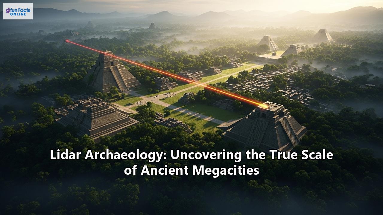
Lidar, an acronym for Light Detection and Ranging, is a remote sensing technology that functions like a highly advanced form of radar, but with lasers. Mounted on aircraft, helicopters, or drones, a Lidar system fires hundreds of thousands of laser pulses per second towards the ground. These pulses travel to the surface, bounce off objects, and return to a sensor on the instrument. By measuring the precise time it takes for each pulse to return, the system can calculate the distance to the object with incredible accuracy. When combined with high-precision GPS and inertial measurement units (IMUs), this data generates a massive, three-dimensional "point cloud" that maps the terrain and everything on it in breathtaking detail.
Its revolutionary power for archaeology, particularly in tropical environments, lies in its ability to "see" through vegetation. While many laser pulses are reflected by the forest canopy, a significant number find their way through gaps in the leaves and branches to reach the forest floor. Sophisticated algorithms can then filter out the "noise" of the vegetation, digitally deforesting the landscape to create a "bare earth" Digital Elevation Model (DEM). This reveals the subtle, and sometimes not-so-subtle, topographical features of the ground below—the faint outlines of house mounds, the linear traces of ancient roads, the geometric patterns of agricultural terraces, and the monumental architecture of pyramids and plazas, all previously hidden from view.
The result is a paradigm shift in archaeological research. Where decades of grueling fieldwork might map a few square kilometers, a Lidar survey can cover hundreds or even thousands of square kilometers in a matter of days. It provides archaeologists with a comprehensive, landscape-scale view of ancient settlements, revealing not just individual sites, but the intricate web of connections between them. This has led to a fundamental re-evaluation of the size, complexity, and population of ancient societies, proving that many were far more urbanized and their environmental modifications far more extensive than previously imagined.
The Maya Megalopolis: A Civilization Revealed
Perhaps nowhere has the impact of Lidar been more profound than in the Maya Lowlands of Central America. For a century, the prevailing view of Maya civilization was one of ceremonial centers surrounded by a sparsely populated, rural landscape. The dense jungle was thought to have constrained large-scale urban development. Lidar has shattered this long-held belief, revealing a sprawling, interconnected network of cities, towns, and infrastructure that constitutes a true ancient megalopolis.
Caracol, Belize: The First Glimpse of a Sprawling City
One of the earliest and most stunning demonstrations of Lidar's potential in the Maya region came in 2009 at the site of Caracol in western Belize. After more than two and a half decades of intensive, on-the-ground mapping, archaeologists had managed to survey about 23 square kilometers of the site. Then, in just a few days, an airborne Lidar survey covered 200 square kilometers. The results were astonishing.
The Lidar data revealed that Caracol was a massive, continuous urban landscape, far larger than previously conceived. The survey uncovered tens of thousands of agricultural terraces that covered almost the entire landscape, demonstrating an intensive and sophisticated farming system designed to support a large population. It also identified 11 new causeways, ancient roads that connected the city's center to outlying residential groups and smaller centers, revealing a complex transportation and communication network. The population estimates for Caracol were dramatically revised upwards, with some suggesting a population of over 100,000 people at its peak in A.D. 650, making it one of the largest cities in the Maya world. The Lidar survey at Caracol demonstrated that instead of a city-state, it was a city-as-state, an integrated urban system that had profoundly modified its environment to create a sustainable, low-density agricultural city.
The PACUNAM Initiative: Uncovering a Kingdom in Guatemala
If Caracol was the proof of concept, the PACUNAM Lidar Initiative (PLI) in northern Guatemala was the moment Lidar's discoveries went viral. In 2016, a consortium of scholars, funded by the Guatemalan nonprofit PACUNAM, conducted a massive Lidar survey covering over 2,100 square kilometers of the Maya Biosphere Reserve in the Petén region. The results, published in 2018, made headlines around the world.
The survey identified over 61,000 previously unknown ancient structures, including houses, palaces, defensive fortifications, and even pyramids that were so covered in vegetation they were invisible to the naked eye. The data revealed an interconnected network of dozens of cities and towns, all linked by an extensive system of causeways. This discovery fundamentally altered the understanding of Maya settlement patterns, showing a density of occupation that was far greater than even the most generous previous estimates. Population estimates for the region were revised upwards from a few million to a staggering 10 to 15 million people, many of whom lived in what were previously thought to be uninhabitable swampy areas.
The PLI survey also highlighted the extent of Maya agricultural intensification. Vast areas were covered in terraces and other agricultural modifications, indicating a sophisticated system of food production capable of supporting this large population. Furthermore, the prevalence of defensive walls, moats, and fortresses pointed to a landscape shaped by endemic warfare. Lidar showed that the Maya were not just peaceful temple-builders, but a complex society engaged in large-scale political and military competition.
Valeriana, Mexico: A Lost City Hiding in Plain Sight
More recently, in 2024, another major discovery was announced, this time in the Campeche region of Mexico. A Ph.D. student, analyzing publicly available Lidar data originally collected for ecological purposes, accidentally uncovered a massive Maya city that has been named Valeriana. The city, which is located surprisingly close to a modern highway, had been completely overlooked by previous archaeological surveys.
The Lidar data for Valeriana revealed over 6,500 structures across an area of about 10 square miles, including large pyramids, plazas, a ball court, and extensive residential areas. The city is estimated to have housed between 30,000 and 50,000 people at its peak. What makes Valeriana particularly significant is its density and organization, which challenges previous assumptions about the distribution of Maya settlements between the major political centers. It demonstrates that even in areas thought to be rural hinterlands, large and complex urban centers could thrive. This discovery once again underscores the revolutionary power of Lidar to reveal major archaeological sites in unexpected places and continues to fill in the map of the vast, interconnected world of the ancient Maya.
Angkor, Cambodia: The Industrial-Scale City of the Khmer Empire
Half a world away, in the jungles of Cambodia, Lidar has been having a similarly transformative effect on our understanding of the Khmer Empire, which flourished from the 9th to the 15th centuries. The iconic temple complex of Angkor Wat is the most famous remnant of this civilization, but Lidar has shown that it was just one part of a much larger, sprawling urban landscape.
In 2012 and 2015, the most extensive airborne archaeological study ever undertaken used Lidar to survey over 1,900 square kilometers around Angkor. The results were nothing short of spectacular. The Lidar data stripped away the dense jungle to reveal a network of medieval cities, some of which were comparable in size to Cambodia's modern capital, Phnom Penh.
The surveys showed that the area around Angkor Wat was not a collection of isolated temples, but a vast, low-density urban complex that was the largest pre-industrial city in the world. The Lidar maps revealed a formal grid of roads, canals, and ponds within the enclosure of Angkor Wat itself, showing that it was a living, breathing city, not just a ceremonial center. Beyond the main temple complex, the survey identified a vast, formally planned urban landscape with a sophisticated water management system of canals and reservoirs that was built hundreds of years earlier than previously thought.
One of the most significant discoveries was the city of Mahendraparvata on Phnom Kulen, one of the first capitals of the Khmer Empire. While its existence was known from inscriptions, its location and scale were a mystery. The Lidar data revealed the entire cityscape, including highways, temples, and other urban features, etched into the surface of the mountain. Another major find was a large, previously unknown industrial city near the temple of Preah Khan of Kompong Svay, which archaeologist Damian Evans had been searching for on the ground for a decade. The Lidar data revealed the three-by-three-mile urban grid in plain sight.
These discoveries have completely reconfigured our understanding of the Khmer Empire. They demonstrate a level of urban planning and hydraulic engineering that was unparalleled in the pre-industrial world. The Lidar data also provides crucial insights into the decline of the Khmer civilization, suggesting that the complexity of their infrastructure and their intensive modification of the landscape may have played a role in their eventual collapse.
The Amazon Rainforest: Dispelling the Myth of a Pristine Wilderness
The Amazon rainforest has long been viewed as a pristine wilderness, a vast, green expanse that was largely untouched by human hands before the arrival of Europeans. This "pristine myth" has been thoroughly debunked by recent archaeological research, and Lidar has been at the forefront of this scientific revolution. It has revealed that the Amazon was home to large, complex societies that built cities and profoundly shaped their environment.
In 2022, a Lidar survey in the Llanos de Mojos region of the Bolivian Amazon revealed the remains of the Casarabe culture, which flourished between A.D. 500 and 1400. The survey uncovered two remarkably large sites and a dense, four-tiered settlement system connected by a network of straight, raised causeways that stretched for several kilometers. The larger sites featured monumental civic-ceremonial architecture, including stepped platforms, U-shaped structures, and conical pyramids up to 22 meters tall. This was a form of low-density urbanism that had never before been documented in the Amazon.
More recently, in early 2024, an even more stunning discovery was announced in the Upano Valley of eastern Ecuador. Lidar scans revealed a complex network of interconnected cities, roads, and agricultural structures dating back 2,500 years, making it the oldest and largest example of an agricultural civilization yet found in the Amazon rainforest. The survey identified more than 6,000 rectangular earthen platforms, plaza structures, and mounds connected by an extensive grid of straight roadways. The complexity and scale of the site drew comparisons to the urban systems of the Maya.
These discoveries are fundamentally changing our understanding of the history of the Amazon. They show that for thousands of years before European contact, the rainforest was a managed landscape, home to large, urban populations that practiced sophisticated agriculture and engineering. Lidar is allowing archaeologists to finally appreciate the diversity and complexity of these ancient Amazonian societies and their enduring legacy on the landscape.
Beyond the Megacities: Other Remarkable Lidar Discoveries
The transformative power of Lidar is not limited to the jungles of Central America, Cambodia, and the Amazon. Around the world, it is being used to uncover lost cities and reveal the hidden landscapes of the past.
- Teotihuacan, Mexico: While the monumental pyramids of Teotihuacan have always been visible, Lidar has revealed the true extent of the city's urban planning and its lasting impact on the landscape. A Lidar survey of the eight-square-mile area of the ancient city showed that its builders had undertaken massive quarrying and excavation projects, including rerouting rivers to conform to the city's astronomical alignment. The study also found that even today, 65 percent of modern construction in the region is built on the ancient city's alignments, a testament to the enduring legacy of this ancient metropolis.
- The "Lost City of the Monkey God," Honduras: In the remote and dangerous Mosquitia region of Honduras, Lidar was instrumental in locating the ruins of a large, previously unknown city, which some have linked to the legendary "Ciudad Blanca" or "White City." A 2012 Lidar survey penetrated the thick jungle canopy to reveal a network of plazas, pyramids, and other structures, leading to a ground expedition that confirmed the existence of a lost civilization.
- Ancestral Native American Farming, Michigan: Lidar has also shed new light on the scale of agriculture in North America. A survey in Michigan's Upper Peninsula revealed a huge network of raised garden beds spread across 330 acres, where the ancestors of the Menominee Tribe grew crops. The scale of this agricultural system suggests a larger, more organized settlement than was previously thought to have existed in the region during that period.
The Future of Archaeology: A New Golden Age of Discovery
Lidar has ushered in a new golden age of archaeological discovery. It has provided a tool that allows researchers to see the past on a scale and with a clarity that was previously unimaginable. This technology has not replaced traditional archaeological methods; rather, it has enhanced them. Lidar provides the map that allows archaeologists to conduct more targeted and efficient ground-truthing, excavation, and analysis.
The implications of Lidar's discoveries are profound. They have forced a re-evaluation of our understanding of ancient urbanism, population density, agriculture, and societal complexity. They have shown that ancient peoples were far more capable of modifying their landscapes and creating large-scale, sustainable urban environments than we ever gave them credit for.
As Lidar technology continues to improve and become more accessible, we can expect even more incredible discoveries in the years to come. There are still vast areas of the planet that remain unexplored, and who knows what lost cities and hidden landscapes are still waiting to be revealed by the penetrating gaze of a laser beam. The story of our past is still being written, and Lidar is providing us with the pen to write its most exciting chapters yet.
Reference:
- https://www.google.com/search?q=time+in+BZ
- https://reason.com/2025/04/27/lost-cities-in-the-jungle/
- https://scitechdaily.com/scientists-have-discovered-a-lost-mayan-megacity-complete-with-hidden-pyramids/
- https://www.businesstoday.in/visualstories/news/6500-hidden-structures-laser-finds-lost-mayan-megacity-with-pyramids-hiding-in-plain-sight-184047-04-11-2024
- https://www.google.com/search?q=time+in+Mexico+City,+MX
- https://www.cambridge.org/core/journals/advances-in-archaeological-practice/article/abs/use-of-lidar-in-understanding-the-ancient-maya-landscape/2D44395C82A2503534071CEE3568C5B7
- https://www.pnas.org/doi/10.1073/pnas.1306539110
- https://news.artnet.com/art-world/technology-transforming-mayan-archaeology-1558456
- https://www.esri.com/about/newsroom/blog/lidar-images-reveal-mayan-civilization
- https://heritage-key.com/blogs/ann/lidar-survey-uncovers-ancient-maya-city-caracol/
- https://www.caracol.org/wp-content/uploads/2016/05/ChaseEtAl2011.pdf
- https://archive.archaeology.org/1007/etc/caracol.html
- https://www.cambridge.org/core/journals/advances-in-archaeological-practice/article/abs/using-lidar-and-gis-to-investigate-water-and-soil-management-in-the-agricultural-terracing-at-caracol-belize/EFAB348709BB4BF6FBEC861425F416DE
- https://news.artnet.com/art-world/hidden-ancient-maya-city-discovered-lidar-1359307
- https://www.brown.edu/news/2018-09-26/lidar
- https://rollingout.com/2024/11/10/ancient-maya-megacity/
- https://www.youtube.com/watch?v=EsLP44cMi7w&pp=0gcJCfwAo7VqN5tD
- https://www.electrooptics.com/news/medieval-cities-cambodian-forest-discovered-using-lidar
- https://archaeology.org/issues/january-february-2017/collection/cambodia-angkor-lidar/top-10-discoveries-of-2016/
- https://leica-geosystems.com/fr-ma/about-us/news-room/customer-magazine/reporter-78/pulling-artifacts-from-the-jungle-using-full-waveform-lidar
- https://the-past.com/feature/the-secrets-of-angkor-wat-how-archaeology-is-rewriting-history/
- https://www.smithsonianmag.com/smart-news/laser-scans-reveal-massive-khmer-cities-hidden-cambodian-jungle-180959395/
- https://nachrichten.idw-online.de/2022/05/25/early-urbanism-found-in-the-amazon
- https://www.youtube.com/watch?v=eNM_zVVPPp8
- https://archaeologymag.com/2024/01/laser-scans-reveal-ancient-cities-hidden-deep-in-the-amazon-rainforest/
- https://www.livescience.com/archaeology/lasers-reveal-ancient-settlements-hidden-deep-in-the-amazon-rainforest
- https://www.theguardian.com/global-development/2025/feb/06/ancient-garden-cities-amazon-indigenous-technologies-archaeology-lost-civilisations-environment-terra-preta
- https://archaeology.org/news/2019/05/14/210927-teotihuacan-lidar-landscape/
- https://news.ucr.edu/articles/2021/09/20/modern-activities-follow-contours-ancient-teotihuacan
- https://www.sciencealert.com/modern-day-mexico-follows-the-contours-of-this-ancient-city
- https://www.youtube.com/watch?v=36vrtuE4auw
- https://medium.com/@darkenergyarticles/the-lost-white-city-in-honduras-mystery-uncovered-thanks-to-lidar-71930ec7a37d
- https://pubs.aip.org/physicstoday/Online/3703/Lidar-used-to-find-ancient-city-in-Honduras
- https://www.livescience.com/white-city-monkey-god
- https://archaeology.org/news/2025/06/09/lidar-survey-reveals-intensive-farming-by-ancestral-native-americans/