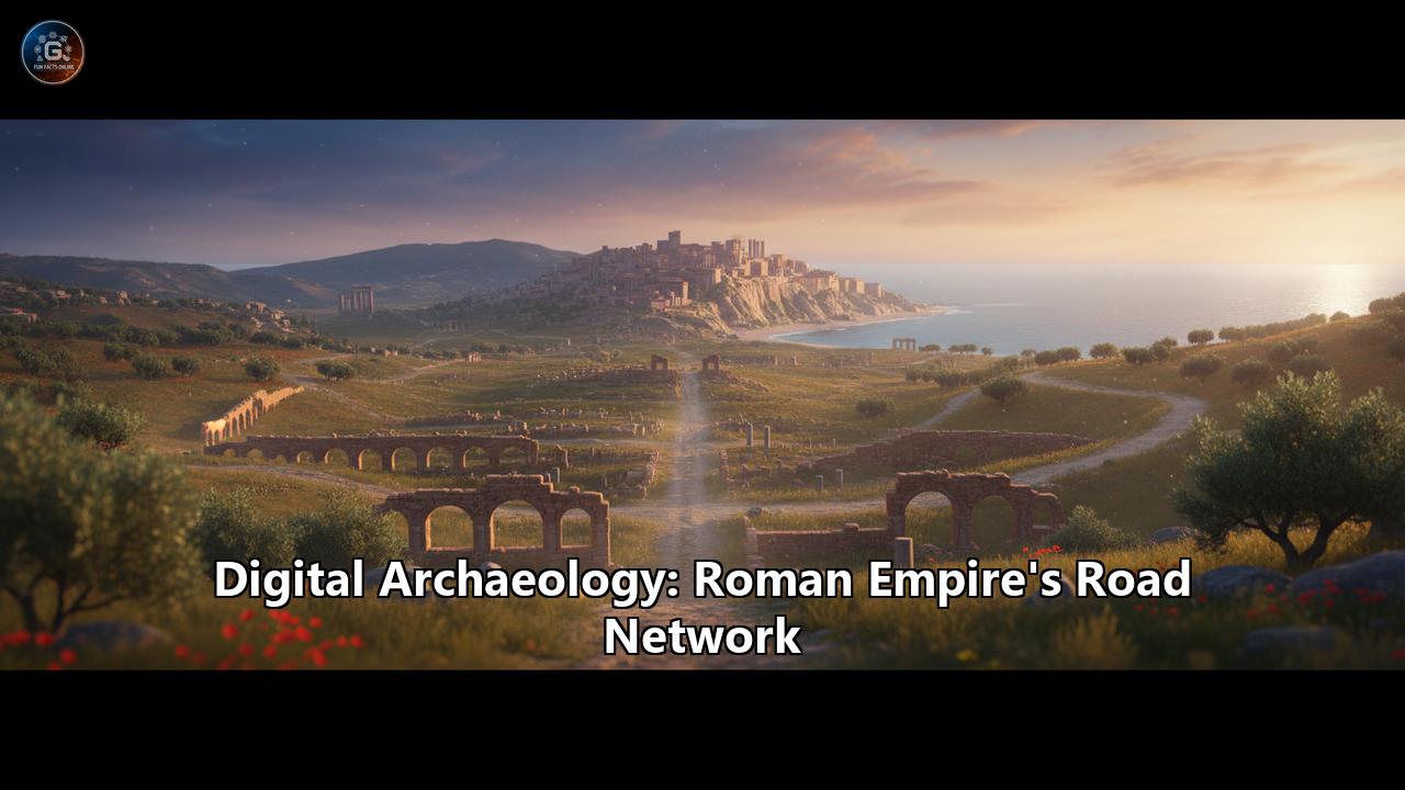
Unearthing the Arteries of an Empire: How Digital Archaeology is Redrawing the Map of Ancient Rome
The old saying "all roads lead to Rome" has for centuries encapsulated the grandeur and connectivity of one of history's most formidable empires. This vast network of meticulously engineered roads was the lifeblood of the Roman world, a testament to its organizational prowess and the primary instrument of its military, economic, and cultural dominance. For generations, our understanding of this colossal infrastructure was pieced together from weathered milestones, fragmented historical texts, and the faint traces left on the landscape. But today, a new breed of archaeologist, armed not with trowels and brushes but with lasers, satellites, and complex algorithms, is revolutionizing our perception of the Roman road network. This is the world of digital archaeology, a field that is peeling back the layers of time to reveal the true scale and complexity of the arteries that once pumped life through the Roman Empire.
At the forefront of this digital revolution are groundbreaking projects that are not just re-mapping ancient routes but are fundamentally reshaping our understanding of how the Roman world functioned. By harnessing the power of technologies like LiDAR (Light Detection and Ranging), Geographic Information Systems (GIS), and satellite imagery, researchers are uncovering thousands of kilometers of previously unknown roads and, in doing so, are challenging long-held assumptions about Roman society, economy, and expansion.
The Digital Humanists' Toolkit: Peering Through Time with Modern Technology
The traditional image of archaeology often involves painstaking excavation, slowly revealing the secrets of the past from beneath the soil. While this remains a vital part of the discipline, digital archaeology offers a non-invasive and expansive new set of tools to explore ancient landscapes.
LiDAR: The All-Seeing Eye in the SkyOne of the most powerful of these tools is LiDAR. By firing millions of laser pulses from an aircraft towards the ground and measuring the time it takes for them to return, LiDAR can create incredibly detailed 3D maps of the terrain. Crucially, it can digitally "see" through vegetation and other modern obstructions, revealing subtle changes in the ground's surface that are invisible to the naked eye. For Roman road hunters, this has been nothing short of revolutionary.
In the United Kingdom, the public release of LiDAR data by the Environment Agency has led to a flurry of discoveries, with both professional and amateur archaeologists identifying long-lost Roman roads. These roads often appear as a faint but distinct raised line, known as an agger, which formed the central cambered part of the road. The LiDAR data can also reveal the flanking drainage ditches and the quarry pits from which the Romans extracted materials for construction.
A striking example comes from Lancashire, where retired road engineer David Ratledge, who had spent 45 years searching for a particular Roman road, discovered a 23-mile stretch between Ribchester and Lancaster with the help of LiDAR data. Similarly, in the rugged terrain of Cumbria, LiDAR has been used to prove the course of the Maiden Way, a Roman road connecting a fort at Low Borrowbridge with a cavalry camp at Kirkby Thore. These discoveries are not just about adding lines to a map; they are helping to rewrite the history of the Roman conquest and control of northern England.
GIS: Layering the Past to Reveal New PatternsGeographic Information Systems (GIS) act as the digital workbench for this new generation of archaeologists. GIS software allows researchers to layer different types of spatial data—such as LiDAR scans, satellite images, historical maps, and the locations of archaeological finds like milestones and settlements—to reveal patterns and relationships that would otherwise remain hidden.
Researchers can use GIS to model the most plausible routes between known Roman sites, taking into account factors like topography. For example, where a Roman bridge and a section of road have been found several kilometers apart, GIS can calculate the "least-cost path" between them, suggesting the most likely route the road would have taken. This predictive modeling can then guide further research and even on-the-ground excavation.
ORBIS: The "Google Maps" for Ancient Rome
Perhaps one of the most ambitious and influential digital humanities projects to tackle the Roman world is the Stanford Geospatial Network Model of the Roman World, or ORBIS. Often described as a "Google Maps for ancient Rome," ORBIS is much more than a static map. It is a dynamic simulator that reconstructs the time and cost of travel across the Roman Empire, around the year 200 CE.
Developed by a team at Stanford University, ORBIS integrates a vast network of cities, roads, rivers, and sea lanes. It models travel across this network using a wide variety of transportation methods, from a soldier's rapid march to a slow-moving ox cart, and even different types of sailing ships. The model is so sophisticated that it accounts for seasonal variations that would have affected sea travel, using modern data on wind and currents to simulate the performance of Roman-era ships.
The power of ORBIS lies in its ability to shift the perspective from simple geographic distance to the more historically relevant concepts of time and cost. By inputting a starting point and a destination, a user can calculate not only the shortest route, but also the fastest and the cheapest. For example, a journey overland from Ravenna to Aventicum (in modern-day Switzerland) would have taken an estimated 23 days, while a much longer sea voyage from Ravenna to Athens would have taken less than half the time and been significantly cheaper.
This has profound implications for our understanding of the Roman economy and the very structure of the empire. ORBIS demonstrates that the Roman world was not defined by the lines on a conventional map, but by the complex interplay of geography, technology, and economics. Coastal regions and those connected by navigable rivers were far more integrated and accessible to the imperial core than remote inland areas, a fact that shaped patterns of trade, administration, and cultural exchange. For instance, the model can generate "distance cartograms" that distort the map to show how "far" places were in terms of travel time or cost, offering a powerful visualization of the true shape of Roman connectivity.
While ORBIS has been praised as a groundbreaking tool for research and education, it is not without its limitations. The model is a simplification of a complex reality, focusing on the main arterial routes and excluding many smaller roads and navigable rivers. It is also largely a snapshot in time, broadly reflecting conditions around 200 CE, and does not fully account for changes in the network over the centuries. Critics also point out that some of the variables, such as the navigability of certain rivers in antiquity, are based on assumptions that can be difficult to verify.
Itiner-e: A New, High-Resolution Atlas of Roman Roads
Building on the foundations laid by projects like ORBIS and spurred by a "huge frustration" with the fragmented and often inaccessible data on Roman roads, an international team of researchers recently unveiled a monumental new digital resource: Itiner-e. Published in late 2025, Itiner-e is the most detailed and comprehensive open-access digital dataset of the Roman Empire's road system ever created.
The project, a collaboration between institutions like Aarhus University and the Universitat Autònoma de Barcelona, involved a painstaking process of compiling information from a vast array of sources. The team drew on archaeological reports, ancient texts like the Antonine Itinerary and the Tabula Peutingeriana, a database of over 8,000 Roman milestones, historical maps, and modern remote sensing data, including satellite imagery and even declassified Cold War spy photos.
The results are staggering. Itiner-e has nearly doubled the known length of the Roman road network from a previous estimate of around 188,555 kilometers to a staggering 299,171 kilometers. This massive increase is due to a more thorough documentation of roads in previously under-studied regions like the Iberian Peninsula, Greece, and North Africa, as well as a more realistic approach to mapping routes. Instead of drawing straight lines between points, the Itiner-e team traced winding paths through mountains and valleys, more accurately reflecting the realities of Roman engineering.
The project also makes a crucial distinction between main roads (the "highways" of the empire) and secondary roads (the "country lanes"). Itiner-e maps approximately 103,000 kilometers of main roads and a vast 195,000 kilometers of secondary roads, offering an unprecedented look at local and regional mobility. This focus on the smaller, less glamorous roads is vital for understanding the day-to-day economic life of the empire, connecting not just major cities and forts, but also farms, villas, and local markets.
The Challenge of UncertaintyOne of the most important contributions of Itiner-e is its honest appraisal of the certainty of its own data. Each of the 14,769 road segments in the dataset is tagged with a level of certainty: certain, conjectured, or hypothetical. The results are a sobering reminder of the challenges of studying the ancient world: only 2.7% of the road locations are known with certainty, meaning their existence and position have been confirmed through archaeological excavation. The vast majority, nearly 90%, are "conjectured," their paths inferred from a combination of historical sources and topographical analysis. A further 7.4% are "hypothetical," representing plausible connections between ancient sites for which there is currently no physical evidence.
This transparency is a major step forward from older maps and is a powerful call to action for future research. The Itiner-e map is not intended to be the final word on Roman roads, but rather a "living tool" that can be updated and refined as new discoveries are made. It provides a roadmap for future excavations, highlighting the areas where more on-the-ground research is needed to confirm the paths of these ancient routes.
New Insights and Challenging Old Narratives
These digital tools are doing more than just filling in the blanks on a map. They are allowing historians and archaeologists to ask new kinds of questions and to test long-standing theories about the Roman world in a more rigorous and quantitative way. The ability to model movement and connectivity has profound implications for our understanding of a wide range of historical phenomena.
Rethinking Economic IntegrationORBIS and similar network analysis models are providing new ways to study the Roman economy. By quantifying the cost and time of transport, researchers can create more sophisticated models of trade and economic integration. For example, some studies have used these models to argue that the creation of the Roman transport network had a fundamental and lasting impact on interregional trade, with better-connected regions showing more intense economic interaction—a pattern that may have persisted long after the fall of the empire.
The Spread of Ideas and DiseaseThe interconnectedness of the Roman world, so vividly illustrated by these digital maps, also had a darker side. The same roads that facilitated the movement of goods and armies also provided conduits for the spread of diseases. Researchers are now using models like Itiner-e to better understand the spread of ancient pandemics like the Antonine Plague in the 2nd century CE. By mapping the potential pathways of contagion, they can gain new insights into the societal impact of these devastating events. Similarly, the spread of ideas, including the rise of Christianity, was profoundly shaped by the pathways of communication and travel that the road network provided.
Challenging the Primacy of RomeWhile the saying tells us that all roads lead to Rome, digital analysis is revealing a more nuanced picture. While Rome was undoubtedly the political and symbolic heart of the empire, some analyses of the road network have suggested that, in purely logistical terms, other areas may have been more important hubs. One study using the Itiner-e data noted that the densest road hubs for land-based travel appeared in the Po Valley and the Alpine corridors of northern Italy, not in Rome itself. It was only when sea and river routes were factored in that Rome emerged as the true center of the network. This highlights the crucial importance of a multi-modal approach to understanding Roman transport, a key feature of the ORBIS model.
Regional Projects: A Global Effort
The creation of the empire-wide Itiner-e dataset was made possible by the painstaking work of numerous regional projects. These initiatives, focused on specific parts of the Roman world, provide the detailed data that underpins the larger models.
- Viator-e: This project has focused on digitizing the Roman road network of the Western Roman Empire, with a particular emphasis on the Iberian Peninsula. It aims to be a meeting point for researchers to share data and methodologies.
- MINERVA: Complementing Viator-e, the MINERVA project has led the digitization efforts in North Africa, the Near East, Asia Minor, and Southeastern Europe. It combines the road network data with evidence from ceramics to test hypotheses about the Roman economy.
- The RecRoad Project: This EU-funded project mapped the Roman route along the Sava River, from Aquileia in northern Italy to Singidunum (modern-day Belgrade, Serbia). This route, previously considered secondary, was the first established by the Romans in the region in the 1st century BC. Using satellite remote sensing, the project identified and mapped numerous archaeological sites, demonstrating the value of these technologies in regions where political situations have limited field research.
- Projects in Germany and the Balkans: Researchers in Germany have been using GIS and least-cost path analysis to reconstruct Roman roads in the former provinces of Raetia and Germania Superior, a challenging task given the sparse archaeological evidence in the region. Similarly, digital tools and historical datasets are being used to map the network of Roman sites across the Balkans, tracing the enduring legacy of routes like the famous Via Egnatia.
The Road Ahead: Challenges and Future Directions
Despite the incredible power of these digital tools, it is crucial to recognize their limitations. As the creators of Itiner-e are quick to point out, the vast majority of their mapped roads are based on conjecture, not archaeological certainty. There is a danger of what has been called "visual seduction," where beautifully rendered maps can create a false sense of certainty and precision. These digital models are not a replacement for traditional archaeological fieldwork but are rather a powerful tool to guide it. Ground-truthing—the process of physically verifying the data on the ground—remains essential.
Another major challenge is the temporal dimension. Most current models, including Itiner-e, provide a snapshot of the network at a particular point in time, usually around the height of the empire in the 2nd century CE. However, the road network was not static; it evolved over centuries, with new roads being built and old ones falling into disuse. Incorporating this chronological data in a systematic, empire-wide way is a major challenge for future research.
The future of the digital archaeology of Roman roads will likely involve an even greater integration of different technologies and an increased focus on open, collaborative platforms. The Itiner-e project is a prime example of this, designed as a "living tool" that can be continuously updated by a community of researchers. The integration of artificial intelligence and machine learning may help to automate the process of identifying potential road features from satellite and LiDAR data, while the increasing availability of high-resolution imagery will undoubtedly lead to new discoveries.
The journey to fully understand the Roman Empire's vast road network is far from over. In many ways, we are only at the beginning of this new digital chapter. But as archaeologists and historians continue to refine these powerful tools, they are bringing the ancient world to life in unprecedented detail. They are not just redrawing the map of the Roman Empire; they are revealing the intricate, dynamic, and surprisingly complex systems of connectivity that made it all possible. The roads of Rome, it turns out, still have many secrets to reveal.
Reference:
- https://orbis.stanford.edu/assets/Scheidel_59.pdf
- https://isaw.nyu.edu/exhibitions/space/orbis.html
- https://orbis.stanford.edu/orbis2012/ORBIS_v1paper_20120501.pdf
- https://mdr-maa.org/resource/orbis-the-stanford-geospatial-network-model-of-the-roman-world/
- https://www.historians.org/perspectives-article/teaching-with-orbis-maps-environments-and-interpretations-in-ancient-rome-september-2016/
- https://worldhistorycommons.org/orbis-stanford-geospatial-network-model-roman-world
- https://pubmed.ncbi.nlm.nih.gov/41198717/
- https://www.jpost.com/archaeology/article-873431
- https://connectedpast.net/
- https://journalofdigitalhumanities.org/1-3/orbis-an-interactive-scholarly-work-on-the-roman-world-by-elijah-meeks-and-karl-grossner/
- https://legacy.geog.ucsb.edu/interactive-map-shows-how-roman-empire-was-shaped-by-economic-constraints/
- https://www.sci.news/archaeology/roman-empire-road-system-map-14337.html
- https://archaeologymag.com/2025/11/roman-roads-reimagined-new-digital-map/
- https://www.smithsonianmag.com/smart-news/ancient-romes-roads-might-have-been-almost-twice-as-long-as-researchers-previously-thought-180987671/
- https://ca.news.yahoo.com/mapping-past-300-000km-roman-071556560.html
- https://www.thenationalherald.com/all-roads-in-ancient-rome-stretched-far-longer-than-previously-known-study-shows/
- https://www.researchgate.net/publication/314538950_Orbis_The_Stanford_Geospatial_Network_Model_of_the_Roman_World
- https://www.earth.com/news/most-complete-roman-road-map-ever-created-changes-historical-knowledge-of-the-empire/
- https://www.timesofisrael.com/roman-roads-spread-way-farther-than-previously-known-study-finds/
- https://www.google.com/search?q=time+in+Rome,+IT
- https://historicalnetworkresearch.org/connected-past-conference-2025-registration-open/
- https://news.artnet.com/art-world/itiner-e-ancient-roman-road-map-2710172