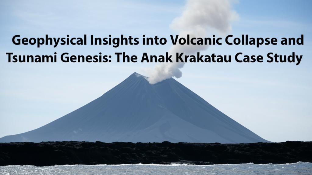
The December 22, 2018, flank collapse of Anak Krakatau volcano in Indonesia and the subsequent deadly tsunami that struck the coasts of Java and Sumatra have been the subject of intense scientific scrutiny. Geophysical insights have been crucial in understanding the mechanisms behind this catastrophic event and in paving the way for improved hazard assessment and early warning systems.
Pre-Collapse Instability and Monitoring:Recent research indicates that the catastrophic flank collapse of Anak Krakatau was not an entirely sudden event. Analysis of satellite radar data (InSAR) spanning over a decade (2006-2018) has revealed that the volcano's southwestern flank had been slowly and progressively slipping for years prior to the 2018 collapse. This long-term deformation, characterized by periods of acceleration and deceleration, experienced a notable acceleration in the months leading up to the devastating event. Studies show a cumulative slip of approximately 15 meters (around 50 feet) along a detachment fault between 2006 and 2018.
This "silent slippage" suggests that the collapse was a culmination of long-term instability, likely exacerbated by ongoing volcanic activity. The eruptive phase that began in June 2018, adding significant new material to the southern slopes, is thought to have further destabilized the already compromised flank. Some analyses indicate that the flank was moving towards the ocean at a rate of about 4 millimeters per month in the year before the collapse, and this rate increased to 10 millimeters per month with the heightened eruptive activity starting in June 2018.
These findings highlight the potential of remote sensing techniques like InSAR for monitoring volcanic stability and detecting precursory signals of collapse. While often ground-based instruments like GPS are difficult or impossible to deploy and maintain on active and dangerous volcanic islands, satellite-based monitoring offers a viable alternative. The challenge lies in processing and analyzing the large datasets in near real-time to provide actionable warnings.
The Collapse Event and Tsunami Genesis:On December 22, 2018, a significant portion of Anak Krakatau's subaerial cone, primarily from the southwestern flank, collapsed into the sea. The estimated volume of the collapse varies slightly across studies but is generally in the range of less than 0.2 to 0.24 cubic kilometers. This submarine mass landslide was the primary trigger for the tsunami.
Bathymetric and seismic data collected after the event have helped to map the landslide deposit and understand its emplacement processes. Analyses suggest a frontally compressional, faulted landslide, with blocky seabed features southwest of the volcano indicative of the collapse blocks. These blocks vary in thickness up to approximately 70 meters. The landslide run-out area southwest of the collapse is estimated to be around 7.02 ± 0.21 square kilometers.
The collapse generated a tsunami with run-up heights reaching up to 13.5 meters in some coastal areas of Banten (Java) and Lampung (Sumatra), causing over 430 fatalities and thousands of injuries. Interestingly, the scale of the tsunami was larger than some models predicted for a landslide of this volume, suggesting complexities in tsunami generation and propagation in volcanic settings. The interaction of the tsunami waves with the surrounding Krakatau islands (Rakata, Sertung, Panjang) also influenced the wave focusing and run-up heights, with some evidence pointing to run-ups as high as 40-50 meters on these nearby islands.
The eruptive style of Anak Krakatau reportedly changed drastically after the collapse, shifting from Strombolian explosions to Surtseyan activity (phreatomagmatic eruptions resulting from the interaction of magma with seawater). This change was detectable in seismo-acoustic measurements. Some studies suggest that intense eruptive activity generated sustained infrasound for about eight hours before the main collapse, with minor mass movements also detected seismically prior to the catastrophic failure.
Implications for Hazard Assessment and Early Warning:The Anak Krakatau event underscored the critical need for tsunami warning systems that can detect non-seismic tsunami sources, such as volcanic flank collapses and landslides. Existing systems at the time were primarily designed for earthquake-triggered tsunamis, leaving coastal communities vulnerable to this type of event.
Geophysical research is now focusing on:
- Improved monitoring techniques: Leveraging satellite data (InSAR, thermal imaging) and integrating it with ground-based seismic and acoustic monitoring to detect subtle signs of volcanic instability and precursory movements.
- Advanced tsunami modeling: Developing more accurate models for landslide-generated tsunamis that account for the complex bathymetry and interaction with volcanic islands. This includes reconstructing past events to validate and refine these models.
- Real-time forecasting: Exploring methods for real-time tsunami forecasting based on pre-computed databases of potential volcanic collapse scenarios.
- Understanding source mechanisms: Continued investigation into the precise mechanisms of volcanic flank collapses and how they translate into tsunami waves. This includes analyzing seismic and infrasound signals associated with these events.
The Anak Krakatau case study serves as a crucial reminder of the destructive potential of volcanic flank collapses and the tsunamis they can generate. Ongoing geophysical research is vital for enhancing our understanding of these complex phenomena and for developing more effective strategies to mitigate the risks posed to coastal communities worldwide.

