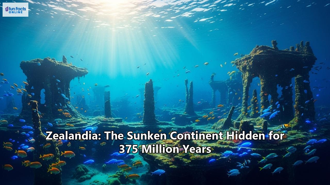
An eighth continent, lost for 375 million years beneath the waves of the Pacific Ocean, has been revealed in stunning detail by scientists. Zealandia, or Te Riu-a-Māui in the Māori language, is a vast landmass that has been hidden in plain sight, with only its highest peaks, such as New Zealand and New Caledonia, visible above the water. This is the story of a continent's birth, its long journey of separation from the supercontinent Gondwana, its eventual submersion, and its rediscovery through cutting-edge scientific exploration.
The Great Southern Land: A Part of Gondwana
For hundreds of millions of years, Earth's landmasses were not as we know them today. A colossal supercontinent, Gondwana, dominated the Southern Hemisphere, uniting what would become South America, Africa, India, Australia, and Antarctica. Along the southeastern margin of this immense landmass, the continental crust that would one day form Zealandia was taking shape. Its oldest rocks whisper of an ancient lineage, with evidence of origins from the early Gondwana formations 500 to 700 million years ago, the even older Rodinia supercontinent of about a billion years ago, and even from an expanded-Ur continent between 3.5 and 2 billion years ago.
This primordial Zealandia was not a separate entity but an integral part of the Gondwanan fringe, a dynamic region of mountain building and volcanic activity. For millions of years, it was a landscape of dramatic geological change, a testament to the powerful tectonic forces at play.
The Long Goodbye: Zealandia's Breakup from Gondwana
The breakup of Gondwana was not a singular event but a protracted and complex process of rifting and separation that unfolded over tens of millions of years. This colossal continental fragmentation was driven by the immense power of plate tectonics, the constant, slow dance of the Earth's crustal plates.
The first stirrings of separation began around 180 million years ago, as Africa began to tear away from the supercontinent. This was followed by the departure of India and Madagascar. Then, around 100 million years ago, the tectonic forces turned their attention to the vast expanse of crust that would become Australia, Antarctica, and Zealandia.
The process of separation was akin to a slow, geological "unzipping." Rifts began to form, stretching and thinning the continental crust. Imagine a vast sheet of dough being pulled apart, becoming thinner and more fragile in the middle. This is precisely what was happening to the crust of Zealandia.
The final, decisive break came in the Late Cretaceous period. Between 83 and 79 million years ago, Zealandia began to pull away from Gondwana, and the Tasman Sea started to open up. The separation was not a clean break but a messy divorce, a process of stretching, twisting, and thinning that left Zealandia's crust significantly thinner than that of other continents. While most continents have a crustal thickness of 30 to 46 kilometers, Zealandia's is typically only 10 to 30 kilometers thick, and in some offshore areas, it's as thin as 10 kilometers. This thinned crust is the primary reason why most of Zealandia is now submerged.
The opening of the Tasman Sea continued for millions of years, pushing Zealandia further and further away from its former neighbors. By around 52 million years ago, the seafloor spreading in the Tasman Sea had ceased, leaving Zealandia an isolated continent adrift in the vast Pacific Ocean.
The Drowning of a Continent
Having broken free from Gondwana, Zealandia embarked on a solitary journey. For a time, it was a vast, continuous landmass, perhaps entirely above sea level. However, its fate was already sealed by the very forces that had created it. The thinned and stretched continental crust, unable to support its own weight, began to subside.
This process of subsidence was gradual, playing out over millions of years. As the crust cooled and contracted, it sank lower and lower, allowing the waters of the Pacific Ocean to slowly encroach upon the land. By approximately 23 million years ago, it is thought that the vast majority of Zealandia had sunk beneath the waves, with only the highest mountains and plateaus remaining as islands. Today, a staggering 94% of the continent is submerged, lying at an average depth of 1,100 meters.
The story of Zealandia's submersion is not just one of passive sinking. The continent has been, and continues to be, shaped by active tectonic processes. It is bisected by the boundary between the Pacific and Australian tectonic plates, a zone of immense geological activity. To the east, the Pacific Plate is being forced under the Australian Plate in a process called subduction, creating the Hikurangi Trough and a chain of volcanoes. In the south, the two plates slide past each other along the Alpine Fault, a major strike-slip fault that has uplifted the Southern Alps of New Zealand. This ongoing tectonic activity has resulted in a dynamic and complex underwater landscape of ridges, basins, and plateaus.
The Unveiling of a Lost Continent: A History of Discovery
The idea of a submerged continent in the southwest Pacific is not new. For centuries, hints and clues have tantalized geologists and explorers. As early as the 17th century, the Dutch explorer Abel Tasman, in his quest for the fabled "Great Southern Continent," encountered the shores of New Zealand, unknowingly stumbling upon the highest peaks of a hidden landmass.
However, it was not until the 20th century that the scientific community began to piece together the puzzle of Zealandia. Early bathymetric surveys of the region revealed a large, elevated area of the seafloor, but its true nature remained a mystery. In 1995, American geophysicist and oceanographer Bruce Luyendyk first proposed the name "Zealandia" for this submerged landmass, recognizing it as a distinct geological entity.
The turning point in the recognition of Zealandia as a continent came with the advent of satellite technology and advanced oceanographic research. Satellite-derived gravity data and marine seismic surveys allowed scientists to map the seafloor in unprecedented detail, revealing the full extent and structure of the submerged continent. These new technologies confirmed that the crust beneath this vast region was indeed continental, not oceanic, in nature.
In 2017, a team of geologists, led by Nick Mortimer of GNS Science, published a landmark paper in the journal GSA Today, arguing that Zealandia met all the criteria to be classified as a continent. They pointed to its large and continuous area of nearly five million square kilometers, its elevated bathymetry relative to the surrounding oceanic crust, its distinctive geology, and its well-defined limits. This publication brought Zealandia to global attention, and the concept of an eighth continent was firmly established in the scientific lexicon.
More recently, in 2023, scientists announced that they had fully mapped the entire continent of Zealandia, a monumental achievement that has provided new insights into its formation and geological history. This complete mapping has revealed a giant volcanic region that was ignited during the breakup of Gondwana and a 4,000-kilometer-long granite "backbone" that stretches the length of the continent.
Te Riu-a-Māui: A Cultural Heritage
For the indigenous Māori people of Aotearoa New Zealand, the concept of a vast, submerged landmass is not a new scientific discovery but a deeply ingrained part of their cultural heritage. The name Te Riu-a-Māui, which has been formally adopted as the Māori name for Zealandia, speaks to this ancient connection.
Te Riu-a-Māui translates to "the hills, valleys, and plains of Māui." Māui is a legendary Polynesian navigator and ancestor who is said to have fished up the North Island of New Zealand (Te Ika-a-Māui, "the fish of Māui"). The name Te Riu-a-Māui, therefore, not only describes the physical features of the continent but also connects it to the rich oral traditions of Polynesian exploration and settlement. It is a name that embodies the deep relationship between the Māori people and the land, both seen and unseen.
The adoption of a dual name, Te Riu-a-Māui / Zealandia, is a recognition of the value of integrating scientific knowledge with indigenous oral traditions. It acknowledges that there are multiple ways of knowing and understanding the world, and that both science and culture have important contributions to make to our understanding of this hidden continent.
Life on a Lost Continent: A Unique Evolutionary Tale
The long isolation of Zealandia, first as part of Gondwana and then as a solitary continent, has had a profound impact on the evolution of life on its emergent lands. New Zealand and New Caledonia, the two largest fragments of Zealandia that remain above water, are renowned for their unique and highly endemic flora and fauna.
Before the arrival of humans, New Zealand was a land of birds. In the absence of terrestrial mammalian predators, many bird species evolved to be flightless, filling ecological niches that are occupied by mammals in other parts of the world. These included the giant moa, some of which stood over three meters tall, and their formidable predator, the Haast's eagle, the largest eagle known to have existed. Other unique creatures included the kiwi, a nocturnal, flightless bird that has become a national symbol, and the kākāpō, a large, flightless, nocturnal parrot.
The reptile life of Zealandia is also remarkable. The tuatara, a reptile that is the last surviving member of an ancient order that flourished during the time of the dinosaurs, is found only in New Zealand. The country is also home to a diverse array of geckos and skinks.
The flora of Zealandia is equally distinctive. Ancient conifers, such as the kauri and rimu, are remnants of the forests that once covered Gondwana. The southern beeches (Nothofagus) are another classic example of a plant group with a Gondwanan distribution, found in New Zealand, Australia, and South America.
New Caledonia, another emergent part of Zealandia, is also a biodiversity hotspot. It is home to an extraordinary number of endemic plant species, many of which are adapted to the island's unique nickel-rich soils. Its fauna includes the kagu, a near-flightless bird that is the only member of its family, and a diverse array of reptiles, including giant geckos.
The arrival of humans, first the ancestors of the Māori people around 800 years ago and then Europeans in the 19th century, brought about a wave of extinctions. The introduction of mammalian predators, such as rats and stoats, and the clearing of forests had a devastating impact on the native fauna, which had evolved in their absence. Many species, including the moa and the Haast's eagle, were lost forever. Today, conservation efforts are underway to protect the remaining unique biodiversity of Zealandia's emergent lands.
Plumbing the Depths: Scientific Ocean Drilling Unlocks Zealandia's Secrets
Much of what we know about the hidden continent of Zealandia comes from scientific ocean drilling. The International Ocean Discovery Program (IODP) and its predecessors have sent research vessels to the region to collect sediment and rock cores from deep beneath the seafloor. These cores are like time capsules, providing a detailed record of Zealandia's geological history, past climates, and ancient life.
In 2017, IODP Expedition 371 drilled at six sites across northern Zealandia, recovering thousands of meters of core. The analysis of these cores has revolutionized our understanding of the continent's past. The expedition's findings revealed that parts of Zealandia were once much shallower than they are today, with some areas rising above sea level before subsiding again.
The cores also contained a treasure trove of fossils. Microscopic shells of marine organisms and pollen from land plants revealed that Zealandia once had a much warmer climate and a very different geography. These fossils provide crucial evidence for the timing of Zealandia's subsidence and the evolution of its ecosystems.
The drilling has also shed light on the tectonic forces that have shaped Zealandia. The cores have provided evidence for a major tectonic event around 50 million years ago that led to the initiation of subduction along the Tonga-Kermadec trench and the formation of the Pacific "Ring of Fire." This event had a profound impact on the geography of Zealandia, causing dramatic changes in water depth and volcanic activity.
Riches of the Deep: Zealandia's Economic Potential
The submerged continent of Zealandia is not just a scientific curiosity; it also holds significant economic potential. The geological processes that have shaped the continent have also created the conditions for the formation of valuable mineral and energy resources.
The Taranaki Basin, off the west coast of New Zealand's North Island, is a major source of oil and gas. This basin began to form during the rifting of Zealandia from Gondwana and has been a site of sediment accumulation for millions of years. Exploration for hydrocarbons is ongoing in other sedimentary basins across the continent.
Zealandia also has the potential for significant mineral deposits. The country is already a major producer of gold, with two world-class deposits: the Martha Mine in the North Island and the Macraes Mine in the South Island. These deposits are a legacy of Zealandia's active tectonic and volcanic history. The submerged parts of the continent may also host deposits of other valuable minerals, such as ironsands, volcanic massive sulfides, and ferromanganese nodules. There are companies actively exploring for gold and other minerals on the emergent parts of Zealandia, using advanced geological modeling and exploration techniques.
The recognition of Zealandia as a continent has also had implications for New Zealand's maritime jurisdiction. Under the United Nations Convention on the Law of the Sea, a coastal state can claim an extended continental shelf beyond its 200-nautical-mile Exclusive Economic Zone if it can demonstrate that the shelf is a natural prolongation of its land territory. New Zealand has successfully made such a claim for a large area of the submerged continent, giving it sovereign rights over the resources of the seabed and subsoil in this extended area.
The Future of Exploration: Unraveling More of Zealandia's Secrets
The exploration of Zealandia is far from over. The complete mapping of the continent in 2023 was a major milestone, but it has also raised new questions and opened up new avenues for research. Much of this vast underwater realm remains unexplored, and there is still much to learn about its geology, tectonics, and life.
Future research will undoubtedly rely on even more advanced technologies. Autonomous underwater vehicles (AUVs) and remotely operated vehicles (ROVs) will be essential for exploring the deepest and most remote parts of the continent. High-resolution seismic imaging and other geophysical techniques will provide more detailed pictures of the crust and mantle beneath Zealandia. And further scientific ocean drilling will be needed to recover more samples from key locations.
There are still many fundamental questions to be answered. Why did Zealandia stretch and thin so much more than other continents? What was the full extent of land and sea on Zealandia in the past? How did life evolve and adapt to the changing geography and climate of the continent? And what can Zealandia tell us about the processes of continental breakup and subduction initiation?
The story of Zealandia is a powerful reminder that our planet is a dynamic and ever-changing place. It is a story of immense geological forces, of the slow dance of continents over millions of years, and of the resilience and adaptability of life. As we continue to explore this hidden continent, we will undoubtedly uncover more of its secrets, and in doing so, we will gain a deeper understanding of the history of our own planet. The lost continent of Zealandia, hidden for so long, is finally giving up its secrets, and the story it has to tell is only just beginning.
Reference:
- https://rock.geosociety.org/net/gsatoday/archive/27/3/article/gsatg321a.1.htm
- https://theweek.com/history/all-about-zealandia-the-earths-potential-8th-continent
- https://medium.com/@adityaver/zealandia-730baf6395c0
- https://www.scimex.org/newsfeed/all-we-know-of-aotearoas-underwater-continent
- https://en.wikipedia.org/wiki/Zealandia
- https://en.wikipedia.org/wiki/Geology_of_Zealandia
- https://www.visitzealandia.com/About/History/The-Continent-of-Zealandia
- https://www.youtube.com/watch?v=ZVg7TuIGSlA
- https://www.livescience.com/planet-earth/geology/zealandia-earths-hidden-continent-was-torn-from-supercontinent-gondwana-in-flood-of-fire-100-million-years-ago
- https://www.gns.cri.nz/research-projects/crustal-structure-of-zealandia/
- https://www.ausimm.com/publications/conference-proceedings/pacrim-2019/the-mineral-systems-of-the-zealandia-continent-500-million-years-and-counting/
- https://www.researchgate.net/publication/223304747_The_Break-up_of_a_Long-term_Relationship_the_Cretaceous_Separation_of_New_Zealand_from_Gondwana
- https://archimer.ifremer.fr/doc/00829/94143/101365.pdf
- https://pmc.ncbi.nlm.nih.gov/articles/PMC2607375/
- https://news.unl.edu/article/what-makes-a-continent-husker-geologist-says-zealandia-fits
- https://tetiniatangaroa.org.nz/projects/te-riu-a-m%C4%81ui-naming-a-continent
- https://www.gns.cri.nz/news/our-continent-has-a-new-dual-name-te-riu-a-mauizealandia/
- https://www.youtube.com/watch?v=DkUFuICSV4g
- https://www.forestandbird.org.nz/campaigns/native-wildlife
- https://www.biologyonline.com/tutorials/ecology-biodiversity-new-zealand-flora-fauna
- https://www.tiakitamakimakaurau.nz/understanding-conservation/aotearoa-new-zealand-a-unique-beginning-and-human-settlement/
- https://www.newcaledonia.co.nz/biodiversity-in-new-caledonia-endemic-species-and-impact/
- https://en.wikipedia.org/wiki/Biodiversity_of_New_Caledonia
- http://publications.iodp.org/preliminary_report/371/
- https://pubs.geoscienceworld.org/gsa/geology/article/48/5/419/581016/Continental-scale-geographic-change-across
- https://www.sciencelearn.org.nz/resources/2550-voyages-of-discovery
- https://www.eurekalert.org/news-releases/502617
- https://niwa.co.nz/water-atmosphere/water-atmosphere-2-february-2011/oceans-treasure
- https://www.zldresources.com/about
- https://www.zldresources.com/
- https://www.spatialsource.com.au/iodp-expedition-371-brings-zealandia-cores-surface/
- https://tetiniatangaroa.org.nz/projects/the-zealandia-timescale